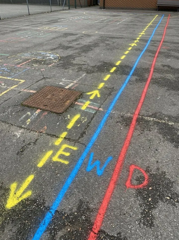
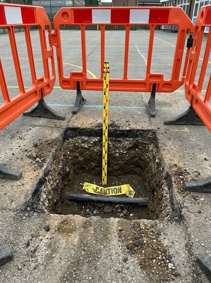
A site record of an underground utility survey to PAS 128. Tick the survey types carried out, from the desktop records search to verification, and record the area, the records obtained, visible evidence on site, the detection methods and equipment, with photos. Add each utility found with GPS points along the line, the length traced, its depth (measured from a photo in a trial hole) and how the depth was found, quality level (QL-D to QL-A, with QL-B1 to B4), size and whether it was marked, then record the limitations and the drawing reference. The form counts the utilities by quality level, the unknown ones and the ones without a depth or a mark. Try the form below, see every question or open a completed example.
✎Every question is editable. Add this form to your account, then change the wording, add or remove questions and options, and make it fit your own jobs.
PAS 128 has four survey types, each giving a quality level. Type D is a desktop search of existing utility records (QL-D). Type C adds site reconnaissance to look for visible evidence such as covers and trench scars (QL-C). Type B detects utilities, mainly with electromagnetic location and ground penetrating radar (QL-B, split into B1 to B4 by confidence). Type A verifies them by seeing them in a chamber or exposing them (QL-A).
Built for recording underground utility surveys on site
Record each utility as it is traced and marked. Pin points along each line by GPS, enter the length traced, measure the depth in a trial hole from a photo and say how the depth was found. The form counts the utilities by quality level, the unknown ones and the ones without a depth or a mark. It records the survey under the quality levels the form describes; it does not make the survey PAS 128 compliant or replace the survey drawing.
Pin points along each line
Walk the marked line and Mark current location at each end and at changes of direction. Phone GPS is good to a few metres, so the marks on the ground and the drawing stay the record to dig by. Mark current location works on web forms in any phone browser today, and the app version is on its way.
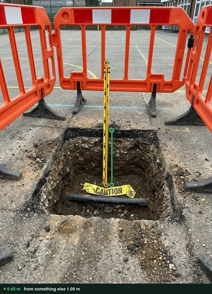
Photograph the trial hole square on with a staff or rod standing on the service, tap a known length of it, then the surface and the top of the service. A locator or GPR depth is an estimate too, so the form asks how each depth was found. It works on web forms in any phone browser today, and the app version is on its way.
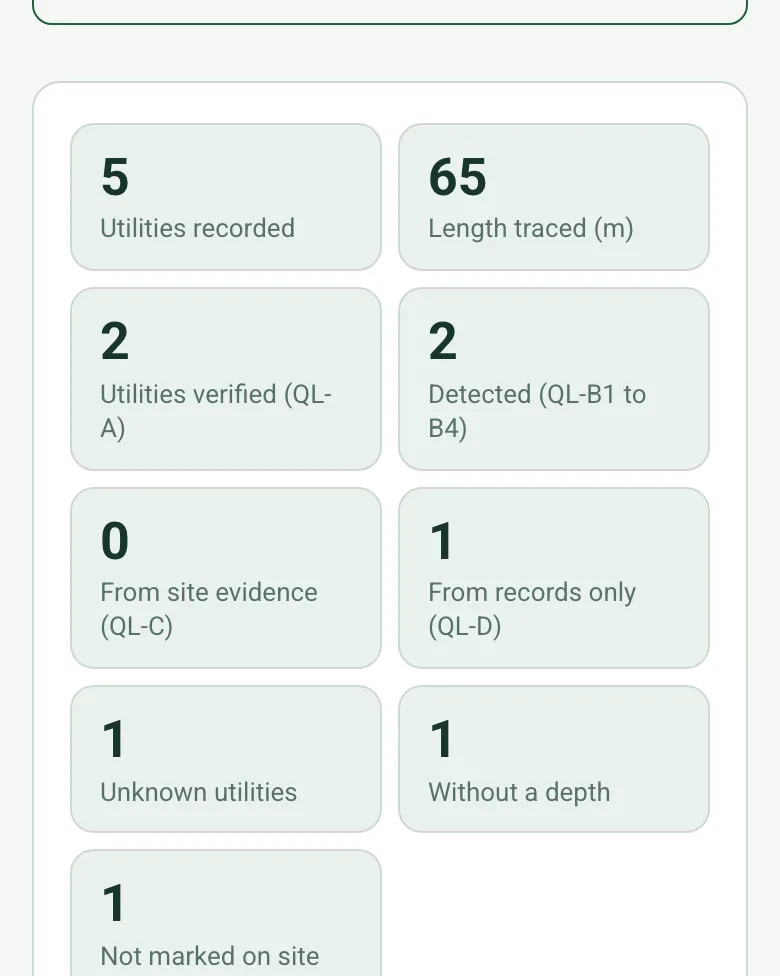
The form counts the utilities, adds up the length traced and counts them by quality level, plus the unknown ones and the ones with no depth or not marked, with a note to pass them on and treat them as live.
A fictional school playground before a new classroom block: an electricity cable verified at about 0.45 m in a trial hole, a water main and a drain, an unknown line near the fence and a gas service on the records that was not detected. Open it as a filled-in form, or switch to a blank copy and try it yourself.
This is the real form as your team would use it: questions appear as you answer, scores work themselves out and you can add photos and signatures. No sign-up needed. Or open a completed example to see every answer, photo and score filled in.
An underground utility survey record to PAS 128: survey type and quality level, records searched, site reconnaissance, detection methods, each utility found with depth, confidence and verification, and limitations. 4 sections and 41 questions. Follow-up questions and guidance appear only when an answer calls for them, so the person on site never sees the ones that do not apply.
✎
Make it your own: every question is editable
This is a starting point, not a fixed form. Once it is in your SiteSurvey account you can reword any question, add or remove questions, sections and answer options, and add your own logo, so it fits the way your team works and the jobs you do.
Details you only enter once
Add this form to a project in SiteSurvey and it fills in what the project already knows, so nobody on site retypes it and every form on the job uses the same names. Anything filled in can still be changed.
Project: the project name
Client: the project's customer
Site: the site, when the form is opened for a space or a product
Site address: the site address, from the space or the project
1
Survey
ProjectShort answer
Fills in from the project name
ClientShort answer
Fills in from the project's customer
Site*Short answer
Fills in from the site, when the form is opened for a space or a product
Site addressShort answer
Fills in from the site address, from the space or the project
Survey date*Date
Surveyor*Short answer
CompanyShort answer
Weather on siteAnswer
Note recent heavy rain or waterlogged ground, which limits GPR, in What you saw on site.
Survey types carried out*Tick all that apply
Type D: desktop utility records search
Type C: site reconnaissance
Type B: detection
Type A: verification
GuidancePAS 128:2022 (underground utility detection, verification and location) survey types and quality levels: D is a desktop search of existing records; C adds a site visit to look for visible evidence such as covers and trench scars; B detects utilities, mainly with electromagnetic location (EML) and ground penetrating radar (GPR); A verifies them by seeing them in a chamber or exposing them. QL-D gives the lowest confidence and QL-A the highest.
CheckTSA client guide to PAS 128: a Type D records search is mandatory for a Type A survey.
Shown only when the answers above make it relevant
Survey area and extent*Short answer
Walk Cam: Type C site reconnaissanceWalk Cam video with voice-to-text
Optional. Film the reconnaissance walk on the SiteSurvey app.
2
Records and reconnaissance
Utility records obtainedTick all that apply
Electricity
Gas
Water
Telecoms
Foul or surface water drainage
Street lighting
Fibre
None obtained
Visible evidence foundTick all that apply
Manhole or chamber covers
Valve or stop tap covers
Street lighting columns
Telecoms cabinets
Meters
Reinstatement scars
Marker posts
Detection methodsTick all that apply
EML (cable locator and signal generator)
GPR
Sonde
Chamber inspection
Trial holes or vacuum excavation
Equipment and calibrationShort answer
Site photos and marked-out servicesPhotos
3
Utilities found
Utilities
Repeat for each utility. Each one asks:
Utility*Choose one
Electricity
Gas
Water
Telecoms
Foul or surface water drainage
Street lighting
Fibre
Unknown
Location or line referenceShort answer
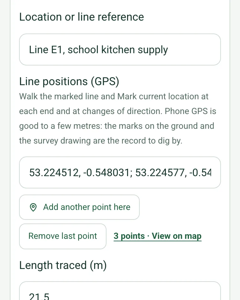
Line positions (GPS)Short answer
Walk the marked line and Mark current location at each end and at changes of direction. Phone GPS is good to a few metres: the marks on the ground and the survey drawing are the record to dig by.
Length traced (m)Number
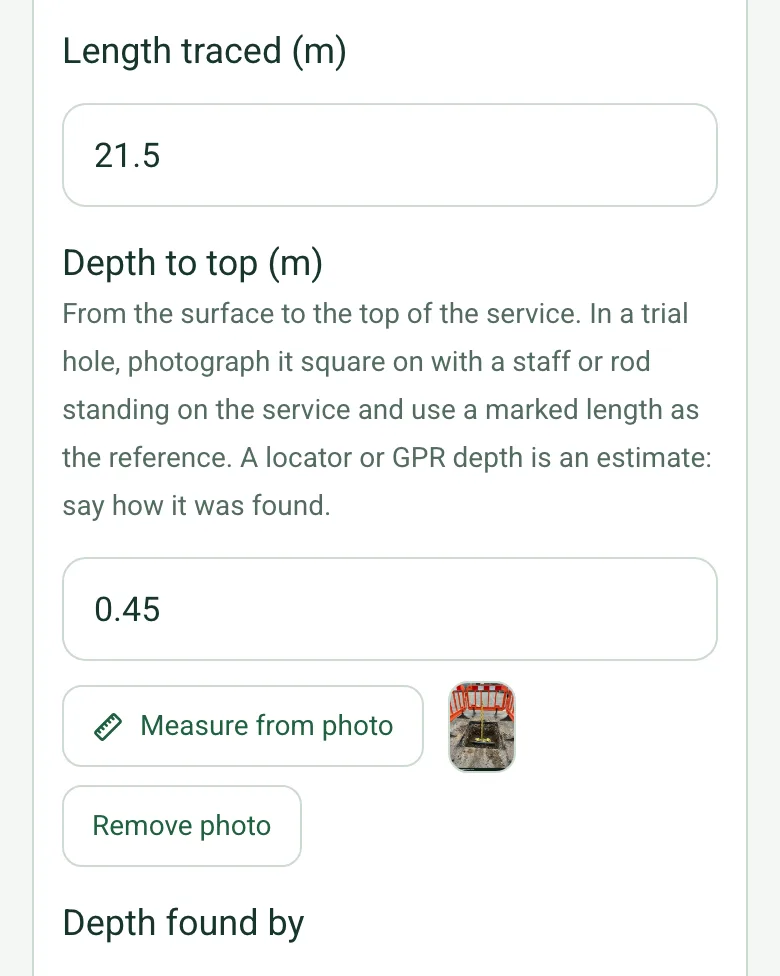
Depth to top (m)Number
From the surface to the top of the service. In a trial hole, photograph it square on with a staff or rod standing on the service and use a marked length as the reference. A locator or GPR depth is an estimate: say how it was found.
Depth found byChoose one
Trial hole or chamber (seen)
Locator estimate
GPR estimate
Records only
Not found
Quality level*Choose one
QL-D
QL-C
QL-B4
QL-B3
QL-B2
QL-B1
QL-A
Size and material, if knownShort answer
Marked on site?Yes or No
PhotosPhotos
Utilities recordedWorked out by the form
Length traced (m)Worked out by the form
Utilities verified (QL-A)Worked out by the form
Detected (QL-B1 to B4)Worked out by the form
From site evidence (QL-C)Worked out by the form
From records only (QL-D)Worked out by the form
Unknown utilitiesWorked out by the form
Without a depthWorked out by the form
Not marked on siteWorked out by the form
CheckUnknown, unmarked or depthless utilities are recorded. Pass them on to whoever plans the dig, and treat them as live until proved otherwise.
Shown only when the answers above make it relevant
GuidanceSince PAS 128:2022, QL-B is split into B1 to B4 by how well the position and depth were found. For example, a utility located but whose depth could not be found is QL-B3; one located with a well-defined position and depth is QL-B1. A P suffix shows GPR data was post-processed.
Limitations (areas not surveyed, poor ground conditions, congested services)Notes
Survey drawing or deliverable referenceShort answer
CheckNo survey method can guarantee to find every buried utility. HSE HSG47: plans alone are not enough to locate services; use locators often during the work, dig trial holes by hand or by vacuum excavation to confirm detected services, and if in doubt treat services as live.
4
Sign-off
Client nameShort answer
Client signatureSignature
Completed byWorked out by the form
Surveyor signatureSignature
See it filled in
A completed utility survey report, made by SiteSurvey from a fictional site visit: every answer, the photos, the guidance that applied and the sign-off, ready to send as a PDF.
It depends on the project stage and the risk. A records search may be enough at feasibility, while design and digging near services need detection and verification. Different survey types can be used for different areas of one site.
Does a survey make digging safe?
No survey method can guarantee to find every buried utility. HSE's HSG47 says plans alone are not enough: use locators often during the work and dig trial holes by hand or vacuum excavation to confirm detected services.
What about unknown utilities?
Record anything detected but not identified as unknown. HSG47 advises treating services as live if in doubt. The form counts unknown utilities.
What do QL-B1 to QL-B4 mean?
They show how well a detected utility was located. A utility located but whose depth could not be found is QL-B3; one located with a well-defined position and depth is QL-B1. A P suffix shows GPR data was post-processed.
Is the 2022 edition current?
PAS 128:2022 replaced the 2014 edition and added guidance on the accuracy of detection methods and on practitioner training. Check which edition your contract specifies.
Who uses this?
Utility surveyors, civil engineering and groundworks contractors, designers and principal contractors.