Capability 01
Space positioning
Place rooms and zones on the drawing so teams can understand the physical structure at a glance.
Floor plans and space mapping
Add a floor plan, define the real spaces and turn a static drawing into a visual index for the products, forms and evidence captured on site.
A survey you can see
Use spatial context to understand where work belongs, what has been captured and which areas still need attention.
Capability 01
Place rooms and zones on the drawing so teams can understand the physical structure at a glance.
Capability 02
Use visual status indicators to see which spaces are complete, in progress or waiting to begin.
Capability 03
Give a meeting room, workshop or comms room the unique surveys and tests appropriate to that environment.
Capability 04
Open a space to find the products, photographs, notes, forms and sign-off records captured there.
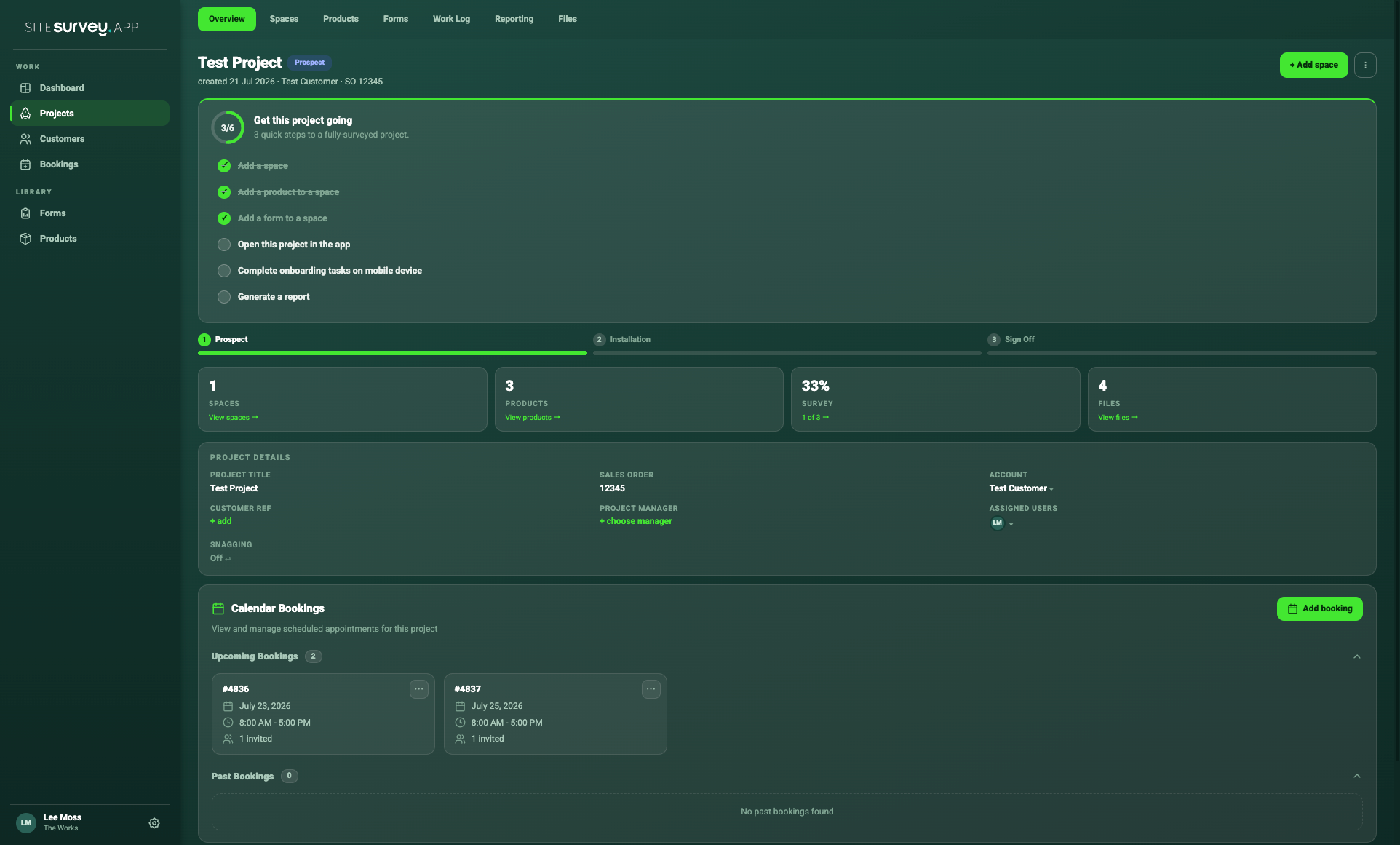
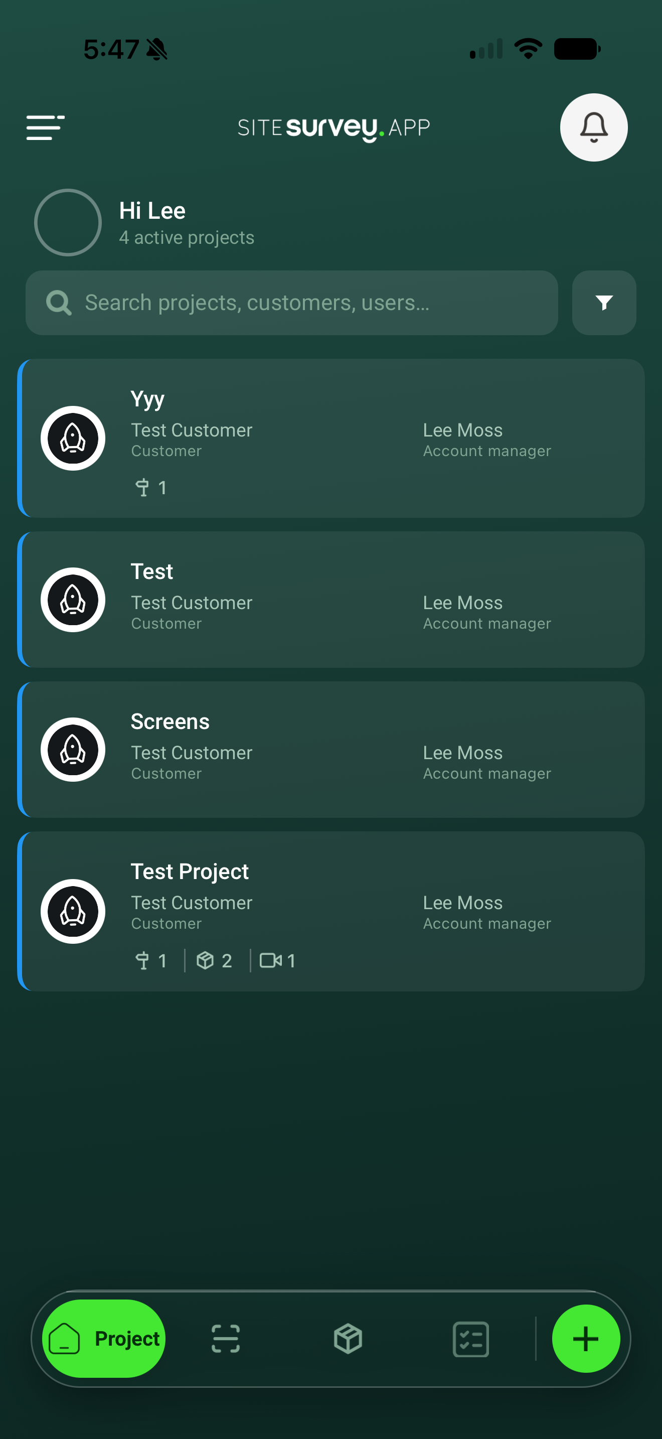
Office and field, connected
The visual plan helps office users understand the entire site while mobile capture keeps engineers focused on the room and products in front of them.
✓Navigate the project through real spaces
✓See progress in its physical context
✓Keep room-specific forms and evidence together
See it on your next site